
Geographical Information Systems Mapping Services

Every project needs a map!
Let design on the side be your mapping experts! From making site layouts to creating a complete geographical information system for your company, we can help you map your assets in one of many popular GIS software packages:
- AutoCAD Map 3D
- ESRI ArcGIS and ArcGIS Pro
- Google Earth Pro
We also have the resources to properly research each of your assets for your GIS and create the map views you need for your field work! Let us bid on your next GIS project!
Project planning and tracking dashboard creation is also available! Let us create the views you need!
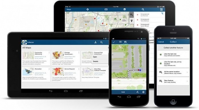
We can make your mapping data available on your tablet or smartphone and can show you how you can view, collect, and update your data in the field using these devices!
Map-based dashboard with analytics creation
Let design on the side take your GIS data and create map-based dashboards with the analytics that you need to better visualize your important project data!

We can automate your GIS work using ModelBuilder and Python scripting
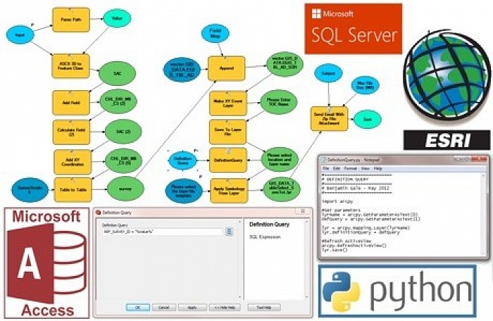
We can make your GIS work easier by automating your editing workflows and customizing your databases to hold the information you need to store! We support ESRI’s Utility Network and PODS.
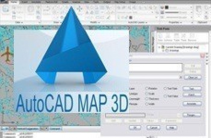
We support GIS data editing using AutoCAD Map 3D and can show you how to share this data with your AutoCAD work
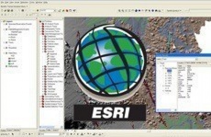
We can make maps for you using your data in ESRI ArcGIS and ArcGIS Pro

We can integrate your GIS data into your field work using ESRI ArcGIS Pro on a Microsoft Surface Pro

We recommend Emerson’s GeoFields Pipeline Integrity Management Solutions

We recommend the Pipeline Open Database Standard (PODS) for pipeline GIS

We can create workflows in the affordable Google Earth Pro for your business

We support ESRI ArcMap
We support ESRI ArcGIS Pro and ArcGIS Online
We support AutoCAD Map 3D

Design on the Side
Photo by
